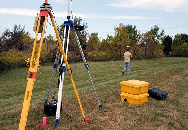
FULL RANGE SURVEYING SUPPORT SERVICES IN OKLAHOMA
The staff at Harden & Associates Surveying and Mapping combines training, field experience, and advanced technology to provide exceptional services to our clients. We are equipped with a full range of surveying capabilities to complete every function associated with civil, transportation and environmental engineering surveying, as well as title and boundary surveying.
James Harden
James Harden is a Professional Land Surveyor Registered in the state of Oklahoma. He has over 35 years in the surveying industry, and a fourth generation Oklahoman. James has served as surveyor in charge for projects throughout Oklahoma. These projects have included design surveys for bridges, expressways, commercial and residential development, drainage improvement projects, parcel boundary surveys and topographic mapping, lot design, subdivision and construction layout.
Nathaniel J. Reed
Nathaniel J. Reed is the Operations Manager of Harden & Associates, and an Oklahoma licensed Professional Land Surveyor with over 14 years of combined field and office experience throughout the State, and oversees all survey operations for Harden & Associates. He is a member of the Oklahoma Society of Land Surveyors (OSLS) and the National Society of Professional Surveyors (NSPS). He has an Associates Degree in Surveying and Civil Engineering Technology from Tulsa Community College. Nathan is proficient in; Optical and GPS measurement techniques, CAD and other Survey related software and 3D Machine Control Modeling for large construction projects. His experience working with local Civil Engineers, Architects, Landscape Architects and Land planners, permit him to properly manage all aspects of surveying projects and communicate with clients to complete necessary tasks. He is also responsible for performing boundary and construction calculations, as well as topographic survey field management.

Jeff Needham
Jeff Needham is the Mapping Supervisor of Harden & Associates, and has over 14 years of experience in computer aided drafting and surveying and engineering software associated with surveying, mapping and civil engineering projects. Jeff holds an Associate Degree in Design Drafting Technology from Oklahoma State University. He is also certified by the National Highway Institute to perform safety inspections of in-service bridges as well as being certified for entry into confined spaces. Jeff is a member of the American Society of Civil Engineers. Jeff performs computer aided drafting for Harden and Associates more detailed projects, and oversees the drafting functions performed by other production technicians at Harden & Associates.
Our land surveyors will come out to location any time of year to extend their expertise. During their visit they will explain the process thoroughly and are open to any questions or concerns you may have about the process.
When you need reliable and dedicated land surveying work, don’t hesitate to contact us today!